 Mad River Mo... Nitehawk Ski... Clear Fork R... Snow Trails
 Autrans-La Sure
  WebCams
Piste de I'Ecureil
TSF du goncon
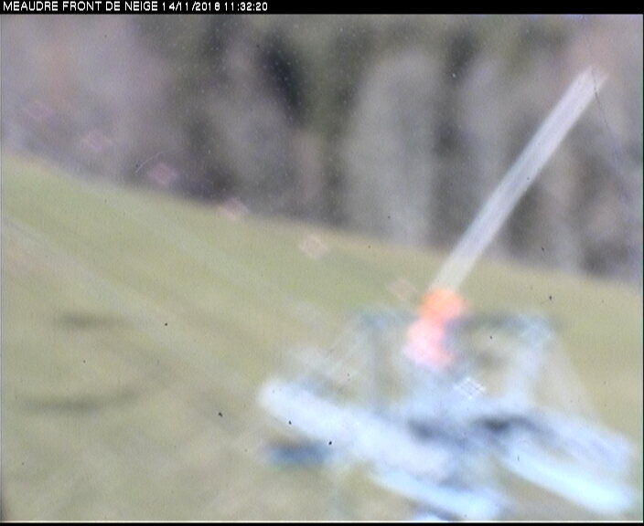
TK ECUREUIL
FRIDAY
May 10

54° / 49°

5 - 12
mph
 0
0
SATURDAY
May 11
56° / 50°
5 - 13
mph
0
SUNDAY
May 12
57° / 52°

9 - 17
mph
0
MONDAY
May 13
58° / 50°
6 - 14
mph
0
TUESDAY
May 14

54° / 45°

14 - 25
mph
0
WEDNESDAY
May 15
46° / 41°
6 - 14
mph
0
advertisement

Mostly clear becoming clear in the late morning continuing through overnight.
No snow.
Potential Precip:
0.02 to 0.1
Hi: 54°Low: 49°
9,828 feet to 11077 feet
Winds variable at 5 to 12 mph through the day, becoming variable at 4 to 11 mph overnight.
Clear becoming partly cloudy at times and then clear overnight. Periods of rain are expected in the afternoon.
No snow.
Potential Precip:
0.03 to 0.14
Hi: 56°Low: 50°
10,242 feet to 11125 feet
Winds variable at 4 to 11 mph in the morning, becoming variable at 5 to 13 mph in the afternoon, and then S at 6 to 14 mph overnight.
Clear becoming mostly clear at times and then cloudy overnight. Periods of rain are expected in the morning through overnight.
No snow.
Potential Precip:
0.03 to 0.15
Hi: 57°Low: 52°
9,616 feet to 10743 feet
Winds S at 8 to 16 mph in the morning, becoming S at 9 to 17 mph in the afternoon, and then S at 8 to 16 mph overnight.
Partly cloudy becoming mostly cloudy overnight continuing through overnight, with periods of rain expected in the morning through evening.
No snow.
Potential Precip:
0.04 to 0.18
Hi: 58°Low: 50°
9,643 feet to 11149 feet
Winds SW at 6 to 14 mph through the day, becoming S at 11 to 20 mph overnight.
Mostly cloudy becoming cloudy in the afternoon continuing through overnight, with periods of rain expected at any time.
No snow.
Potential Precip:
0.16 to 0.8
Hi: 54°Low: 45°
9,155 feet to 10934 feet
Winds S at 14 to 25 mph through the day, becoming S at 10 to 19 mph overnight.
Cloudy becoming mostly cloudy at times continuing through overnight, with periods of rain expected at any time.
No snow.
Potential Precip:
0.81 to 4.03
Hi: 46°Low: 41°
8,495 feet to 9971 feet
Winds SE at 6 to 14 mph through the day, becoming variable at 5 to 12 mph overnight.
 Sunrise & Sunset

Lunar Calendar


 Mid-Mountain


