 Stevens Pass... Summit @ Sno... Summit @ Sno... Summit @ Sno...
 Chatel
  WebCams
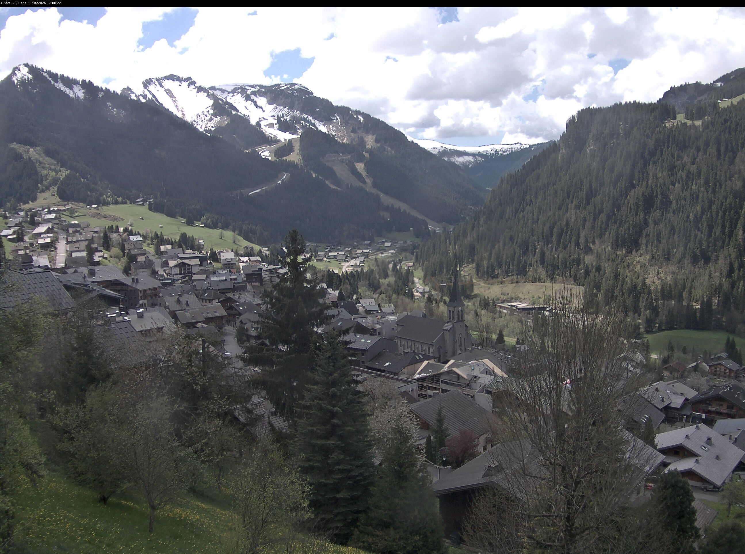
Village

Vonnes Lake
FRIDAY
May 10

50° / 45°

5 - 12
mph
 0
0
SATURDAY
May 11
53° / 47°
4 - 11
mph
0
SUNDAY
May 12

52° / 45°
4 - 12
mph
0
MONDAY
May 13

48° / 45°
5 - 12
mph
0
TUESDAY
May 14

48° / 36°
5 - 13
mph
1
WEDNESDAY
May 15
39° / 36°
5 - 12
mph
3
THURSDAY
May 16

42° / 37°
4 - 11
mph
2
Clear becoming mostly clear in the evening continuing through overnight.
No snow.
Potential Precip:
0 to 0.01
Hi: 50°Low: 45°
9,864 feet to 10677 feet
Winds variable at 4 to 11 mph in the morning, becoming variable at 5 to 12 mph in the afternoon through overnight.
Mostly clear becoming clear overnight continuing through overnight.
No snow.
Potential Precip:
0 to 0.01
Hi: 53°Low: 47°
10,277 feet to 10655 feet
Winds calm in the morning, becoming variable at 4 to 11 mph in the afternoon, and then variable at 5 to 12 mph overnight.
Mostly clear becoming partly cloudy in the afternoon and then mostly cloudy overnight. Periods of rain are expected in the afternoon through overnight.
No snow.
Potential Precip:
0.03 to 0.15
Hi: 52°Low: 45°
9,589 feet to 10523 feet
Winds variable at 5 to 12 mph in the morning, becoming variable at 4 to 12 mph in the afternoon, and then variable at 5 to 13 mph overnight.
Cloudy becoming mostly cloudy in the afternoon continuing through overnight, with periods of rain expected at any time.
No snow.
Potential Precip:
0.11 to 0.56
Hi: 48°Low: 45°
9,418 feet to 11029 feet
Winds variable at 5 to 12 mph through the day, becoming variable at 5 to 13 mph overnight.
Cloudy through the day and overnight, with periods of rain and snow expected overnight.
Periods of light snow throughout the day, moderate at times overnight. Snowfall is forecast to be 1 to 2 inches.
Potential Precip:
0.37 to 1.85
Hi: 48°Low: 36°
7,164 feet to 10976 feet
Winds variable at 5 to 13 mph throughout the day and into overnight.
Cloudy becoming partly cloudy at times continuing through overnight, with periods of rain and snow expected overnight.
Periods of light to heavy snow throughout the day. Snowfall is forecast to be 3 to 5 inches.
Potential Precip:
0.62 to 3.08
Hi: 39°Low: 36°
7,297 feet to 7936 feet
Winds variable at 5 to 12 mph through the day, becoming variable at 4 to 11 mph overnight.
Mostly cloudy through the day becoming clear overnight.
Periods of light to heavy snow throughout the day. Snowfall is forecast to be 2 to 3 inches.
Potential Precip:
0.71 to 3.53
Hi: 42°Low: 37°
7,106 feet to 8540 feet
Winds variable at 4 to 11 mph through the day, becoming variable at 5 to 12 mph overnight.
 Sunrise & Sunset

Lunar Calendar


advertisement

 Mid-Mountain


