 Mad River Mo...
  Nitehawk Ski... Clear Fork R... Snow Trails
 Hauteville
  WebCams

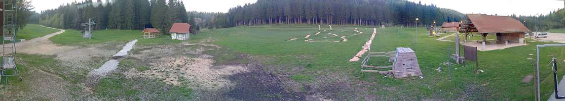
Hauteville Terre Ronde
Hauteville La-praille
FRIDAY
May 10

63° / 51°

4 - 11
mph
 0
0
SATURDAY
May 11
65° / 56°
5 - 13
mph
0
SUNDAY
May 12
64° / 56°

14 - 23
mph
0
MONDAY
May 13
64° / 55°

9 - 17
mph
0
TUESDAY
May 14
52° / 47°
10 - 19
mph
0
WEDNESDAY
May 15
53° / 46°
6 - 14
mph
0
Mostly clear through the day and overnight, with periods of rain expected in the evening.
No snow.
Potential Precip:
0 to 0.01
Hi: 63°Low: 51°
10,279 feet to 11248 feet
Winds variable at 5 to 12 mph in the morning, becoming variable at 4 to 11 mph in the afternoon, and then variable at 5 to 13 mph overnight.
Mostly clear becoming clear in the evening continuing through overnight.
No snow.
Potential Precip:
0 to 0.01
Hi: 65°Low: 56°
10,895 feet to 11442 feet
Winds variable at 5 to 12 mph in the morning, becoming variable at 5 to 13 mph in the afternoon, and then S at 13 to 22 mph overnight.
Clear becoming mostly cloudy overnight continuing through overnight, with periods of rain expected in the evening through overnight.
No snow.
Potential Precip:
0.01 to 0.06
Hi: 64°Low: 56°
9,575 feet to 10709 feet
Winds S at 13 to 22 mph in the morning, becoming S at 14 to 23 mph in the afternoon, and then S at 13 to 22 mph overnight.
Mostly cloudy through the day and overnight, with periods of rain expected at any time.
No snow.
Potential Precip:
0.05 to 0.23
Hi: 64°Low: 55°
9,509 feet to 11110 feet
Winds S at 9 to 17 mph through the day, becoming S at 12 to 21 mph overnight.
Cloudy through the day and overnight, with periods of rain expected at any time.
No snow.
Potential Precip:
0.27 to 1.37
Hi: 52°Low: 47°
8,616 feet to 10726 feet
Winds S at 10 to 19 mph through the day, becoming variable at 4 to 12 mph overnight.
Cloudy becoming mostly cloudy at times and then cloudy overnight. Periods of rain are expected at any time.
No snow.
Potential Precip:
0.68 to 3.39
Hi: 53°Low: 46°
7,345 feet to 9075 feet
Winds variable at 6 to 14 mph through the day, becoming variable at 4 to 12 mph overnight.
 Sunrise & Sunset

Lunar Calendar


 Mid-Mountain


