 Stevens Pass... Summit @ Sno... Summit @ Sno... Summit @ Sno...
 La Croix de Bauzon
  WebCams
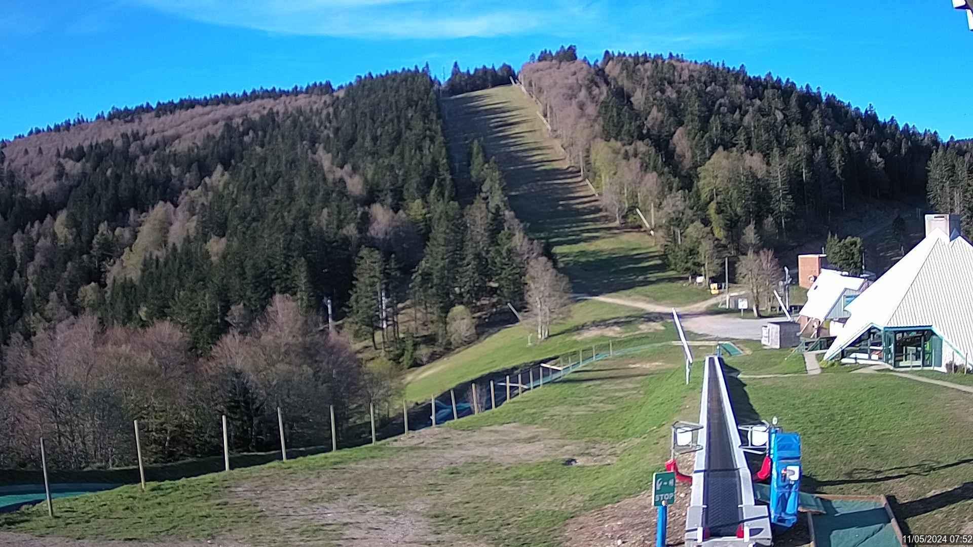
Webcam de la Station de la Croix de Bauzon
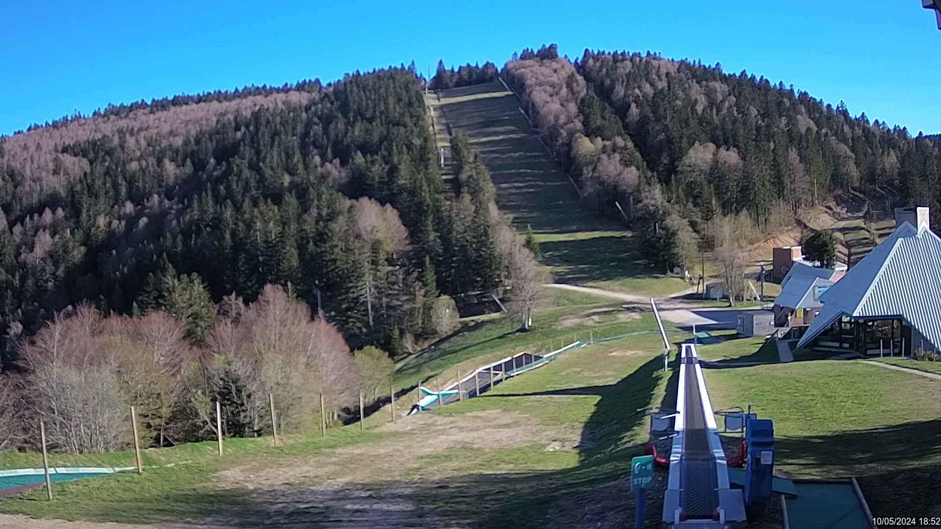
Webcam de la Station de la Croix de Bauzon
FRIDAY
May 10

57° / 51°

6 - 14
mph
 0
0
SATURDAY
May 11
56° / 52°

10 - 18
mph
0
SUNDAY
May 12

54° / 50°
10 - 18
mph
0
MONDAY
May 13

49° / 45°
7 - 15
mph
0
TUESDAY
May 14
46° / 42°
11 - 20
mph
0
WEDNESDAY
May 15
50° / 44°
6 - 14
mph
0
THURSDAY
May 16
53° / 44°
4 - 12
mph
0
advertisement

Clear through the day and overnight, with windy conditions at times.
No snow.
No precipitation expected.
Hi: 57°Low: 51°
10,717 feet to 12038 feet
Winds variable at 5 to 12 mph in the morning, becoming S at 6 to 14 mph in the afternoon through overnight.
Mostly clear becoming clear in the late morning continuing through overnight. Expect windy conditions at times.
No snow.
No precipitation expected.
Hi: 56°Low: 52°
11,746 feet to 12074 feet
Winds S at 9 to 17 mph in the morning, becoming S at 10 to 18 mph in the afternoon, and then S at 11 to 20 mph overnight.
Partly cloudy becoming cloudy overnight continuing through overnight, with periods of rain developing in the evening through overnight.
No snow.
Potential Precip:
0.03 to 0.15
Hi: 54°Low: 50°
9,721 feet to 11430 feet
Winds S at 11 to 20 mph in the morning, becoming S at 10 to 18 mph in the afternoon, and then variable at 5 to 13 mph overnight.
Cloudy through the day and overnight. Periods of rain are expected in the morning through evening.
No snow.
Potential Precip:
0.16 to 0.78
Hi: 49°Low: 45°
9,212 feet to 11084 feet
Winds variable at 5 to 13 mph in the morning, becoming S at 7 to 15 mph in the afternoon, and then SE at 13 to 22 mph with gusts to 34 overnight.
Cloudy becoming clear at times continuing through overnight, with periods of rain expected in the morning through evening.
No snow.
Potential Precip:
0.49 to 2.46
Hi: 46°Low: 42°
7,616 feet to 10728 feet
Winds variable at 11 to 20 mph with gusts to 31 through the day, becoming W at 7 to 15 mph overnight.
Partly cloudy becoming mostly clear at times continuing through overnight, with periods of rain expected in the morning through evening.
No snow.
Potential Precip:
0.51 to 2.53
Hi: 50°Low: 44°
7,142 feet to 7929 feet
Winds variable at 6 to 14 mph through the day, becoming NW at 7 to 15 mph overnight.
Mostly clear becoming partly cloudy in the afternoon continuing through overnight, with periods of rain expected at any time.
No snow.
Potential Precip:
0.55 to 2.73
Hi: 53°Low: 44°
7,092 feet to 8340 feet
Winds variable at 4 to 12 mph through the day, becoming variable at 5 to 13 mph overnight.
 Sunrise & Sunset

Lunar Calendar


 Mid-Mountain


