 Mad River Mo... Nitehawk Ski... Clear Fork R... Snow Trails
 Monarch Mountain
  Salida - Monarch Pass, CO Updated May 03 @ 06:07

 West
West WebCams

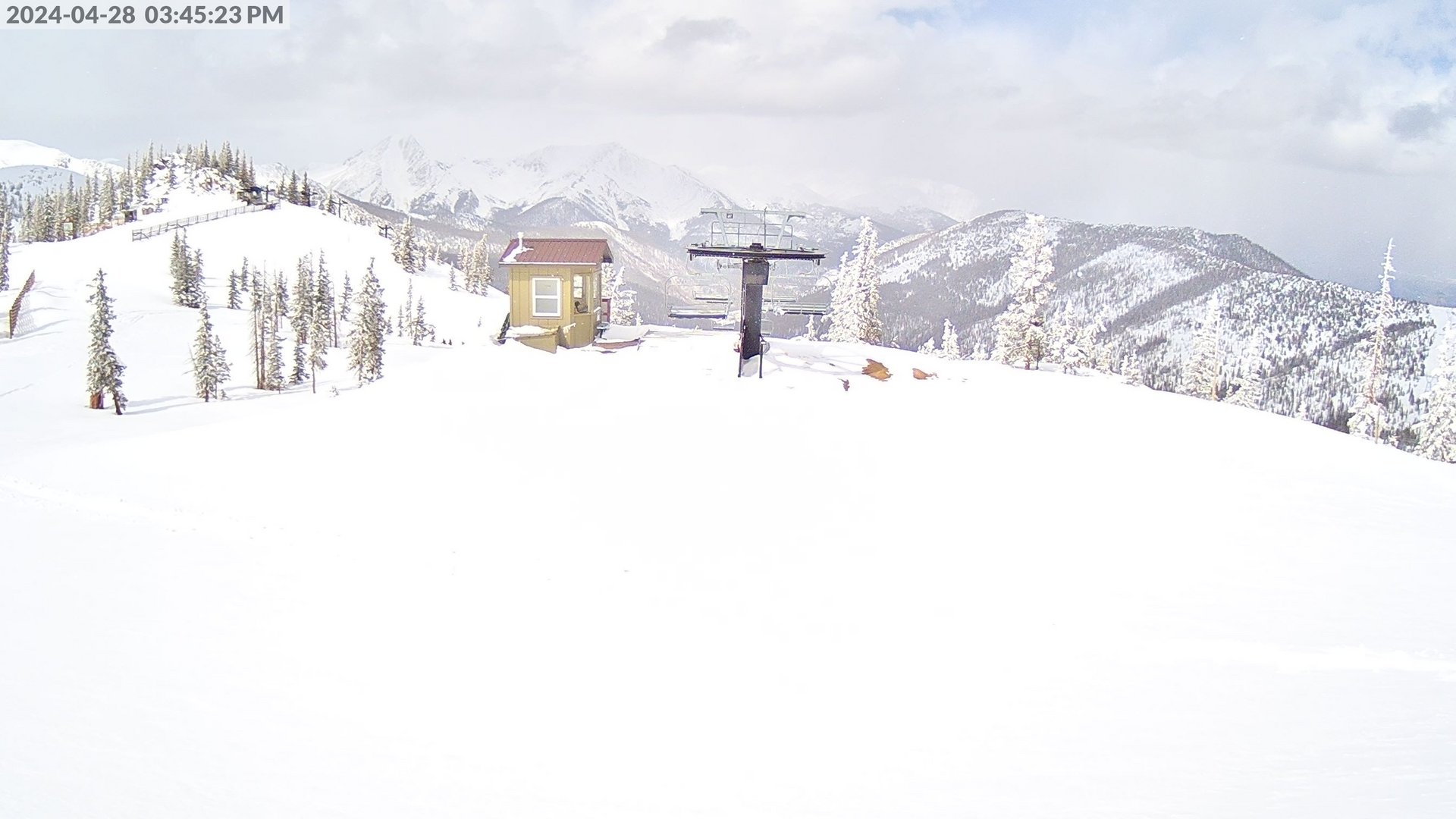
Sundeck Cam
Caterpillar Lift

Hwy 50 Cam
FRIDAY
May 3

41° / 32°

16 - 27
mph
 0
0
SATURDAY
May 4

42° / 34°

10 - 19
mph
1
SUNDAY
May 5
45° / 16°

25 - 36
mph
1
MONDAY
May 6

25° / 19°

38 - 49
mph
7
TUESDAY
May 7
27° / 14°

35 - 46
mph
0
WEDNESDAY
May 8

31° / 21°
12 - 23
mph
0
THURSDAY
May 9
35° / 23°

5 - 13
mph
2
advertisement

Mostly cloudy becoming clear at times and then mostly clear overnight. Expect windy conditions at times.
No snow.
No precipitation expected.
Hi: 41°Low: 32°
11,055 feet to 12527 feet
Winds W at 33 to 44 mph in the morning, becoming W at 16 to 27 mph in the afternoon, and then SW at 7 to 15 mph overnight.
Mostly cloudy becoming mostly clear at times continuing through overnight. Periods of rain and snow are expected overnight.
Periods of moderate snow during the day. Snowfall is forecast to be 1 to 2 during the day.
Potential Precip:
0.11 to 0.54
Hi: 42°Low: 34°
11,553 feet to 12638 feet
Winds variable at 7 to 15 mph in the morning, becoming SE at 10 to 19 mph in the afternoon, and then S at 15 to 26 mph with gusts to 33 overnight.
Cloudy becoming partly cloudy at times continuing through overnight, with periods of snow expected overnight.
Light snow with periods of moderate overnight. Snowfall is forecast to be 1 to 2 overnight.
Potential Precip:
0.03 to 0.16
Hi: 45°Low: 16°
7,643 feet to 13224 feet
Winds SW at 27 to 38 mph in the morning, becoming SW at 25 to 36 mph with gusts to 50 in the afternoon, and then variable at 28 to 39 mph with gusts to 57 overnight.
Mostly cloudy becoming cloudy at times continuing through overnight. Periods of snow are expected at any time.
Periods of moderate snow throughout the day, heavy at times overnight. Snowfall is forecast to be 6 to 9 inches.
Potential Precip:
0.16 to 0.81
Hi: 25°Low: 19°
7,635 feet to 9699 feet
Winds W at 37 to 48 mph in the morning, becoming W at 38 to 49 mph with gusts to 58 in the afternoon, and then W at 31 to 42 mph with gusts to 58 overnight.
Partly cloudy becoming clear in the evening continuing through overnight, with periods of snow expected in the morning.
Periods of light snow throughout the day. Snowfall is forecast to be a trace amount.
Potential Precip:
0 to 0.02
Hi: 27°Low: 14°
5,500 feet to 10184 feet
Winds W at 35 to 46 mph with gusts to 55 through the day, becoming W at 18 to 29 mph with gusts to 39 overnight.
Mostly clear becoming clear at times continuing through overnight.
Periods of snow throughout the day and overnight.
Potential Precip:
0 to 0.01
Hi: 31°Low: 21°
6,509 feet to 10780 feet
Winds NW at 12 to 23 mph through the day, becoming variable at 5 to 12 mph overnight.
Mostly cloudy becoming partly cloudy at times continuing through overnight, with periods of snow expected in the morning through evening.
Periods of light to moderate snow throughout the day. Snowfall is forecast to be 2 to 3 inches.
Potential Precip:
0.06 to 0.28
Hi: 35°Low: 23°
7,062 feet to 11434 feet
Winds variable at 5 to 13 mph through the day, becoming variable at 4 to 12 mph overnight.
 Sunrise & Sunset

Lunar Calendar


 Snow Maps and Weather Stations in the Area
 ![]() 13in, past 7 days. Snow surface is packed powder and powder
13in, past 7 days. Snow surface is packed powder and powder
Snow report provided by SnoCountry
 Mid-Mountain


