 Stevens Pass... Summit @ Sno... Summit @ Sno... Summit @ Sno...
 Pont d’Espagne-Cauterets
  WebCams
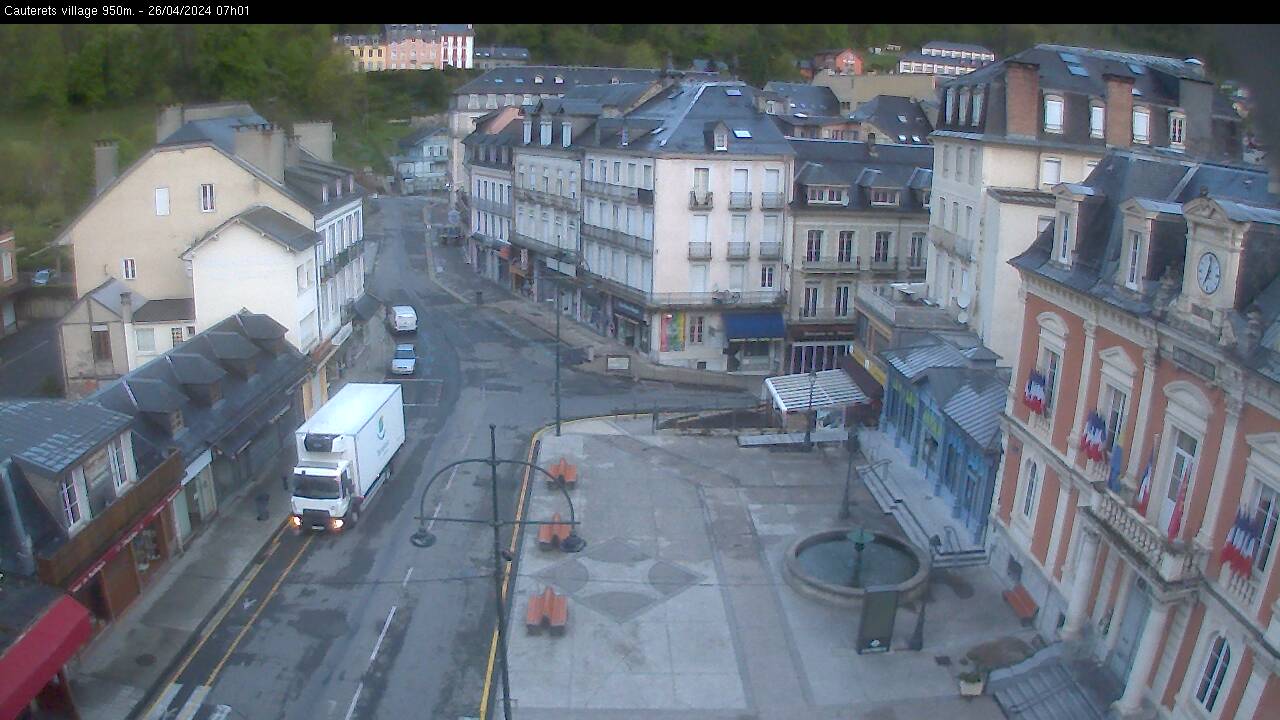
Place de la mairie - 935m.

Telesiege des Cretes - Cirque du Lys - 2400m.
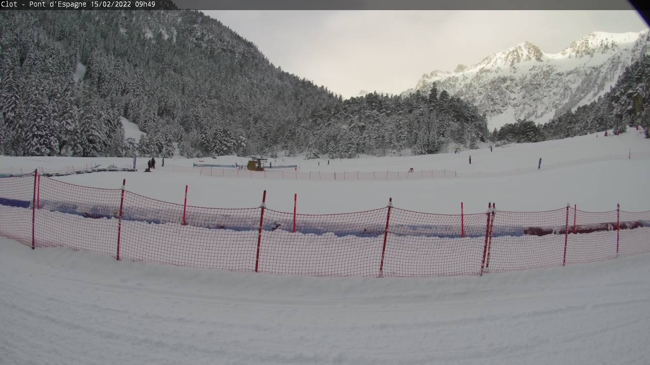
Plateau du Clot - Pont d'Espagne - 1550m.
FRIDAY
May 10

60° / 53°

5 - 12
mph
 0
0
SATURDAY
May 11

61° / 50°
4 - 12
mph
0
SUNDAY
May 12
51° / 49°
5 - 12
mph
0
MONDAY
May 13

55° / 40°
5 - 12
mph
0
TUESDAY
May 14

41° / 35°
5 - 13
mph
10
WEDNESDAY
May 15
39° / 35°
4 - 12
mph
8
THURSDAY
May 16

43° / 38°
5 - 12
mph
0
Clear becoming mostly clear at times continuing through overnight.
No snow.
Potential Precip:
0.01 to 0.04
Hi: 60°Low: 53°
11,504 feet to 12361 feet
Winds variable at 5 to 12 mph through the day, becoming variable at 4 to 12 mph overnight.
Mostly clear through the day and overnight, with periods of rain expected in the evening through overnight.
No snow.
Potential Precip:
0.14 to 0.68
Hi: 61°Low: 50°
10,774 feet to 11451 feet
Winds variable at 5 to 12 mph in the morning, becoming variable at 4 to 12 mph in the afternoon through overnight.
Mostly clear becoming mostly cloudy at times continuing through overnight, with periods of rain expected in the afternoon through overnight.
No snow.
Potential Precip:
0.31 to 1.57
Hi: 51°Low: 49°
9,772 feet to 10491 feet
Winds variable at 4 to 11 mph in the morning, becoming variable at 5 to 12 mph in the afternoon, and then variable at 4 to 11 mph overnight.
Mostly cloudy becoming cloudy in the afternoon continuing through overnight, with periods of rain expected at any time.
No snow.
Potential Precip:
0.5 to 2.5
Hi: 55°Low: 40°
7,953 feet to 11254 feet
Winds variable at 5 to 13 mph in the morning, becoming variable at 5 to 12 mph in the afternoon, and then variable at 6 to 14 mph overnight.
Cloudy becoming mostly cloudy in the evening continuing through overnight, with periods of rain and snow expected overnight.
Periods of heavy snow throughout the day. Snowfall is forecast to be 8 to 12 inches.
Potential Precip:
1.29 to 6.43
Hi: 41°Low: 35°
6,331 feet to 7545 feet
Winds variable at 5 to 13 mph through the day, becoming variable at 4 to 12 mph overnight.
Cloudy becoming mostly cloudy in the late morning continuing through overnight. Periods of snow are expected in the morning through evening.
Periods of moderate to heavy snow throughout the day. Snowfall is forecast to be 7 to 10 inches.
Potential Precip:
1.35 to 6.75
Hi: 39°Low: 35°
5,861 feet to 7309 feet
Winds variable at 4 to 12 mph through the day, becoming variable at 5 to 12 mph overnight.
Mostly cloudy becoming partly cloudy in the late morning continuing through overnight, with periods of rain and snow expected overnight.
Periods of light snow throughout the day. Snowfall is forecast to be a trace amount.
Potential Precip:
1.42 to 7.1
Hi: 43°Low: 38°
6,851 feet to 8071 feet
Winds variable at 5 to 12 mph through the day, becoming variable at 3 to 11 mph overnight.
 Sunrise & Sunset

Lunar Calendar


advertisement

 Mid-Mountain


