 Mad River Mo... Nitehawk Ski... Clear Fork R... Snow Trails
 Silver Star Mountain Resort
  WebCams

POWcam

Alpine Meadows
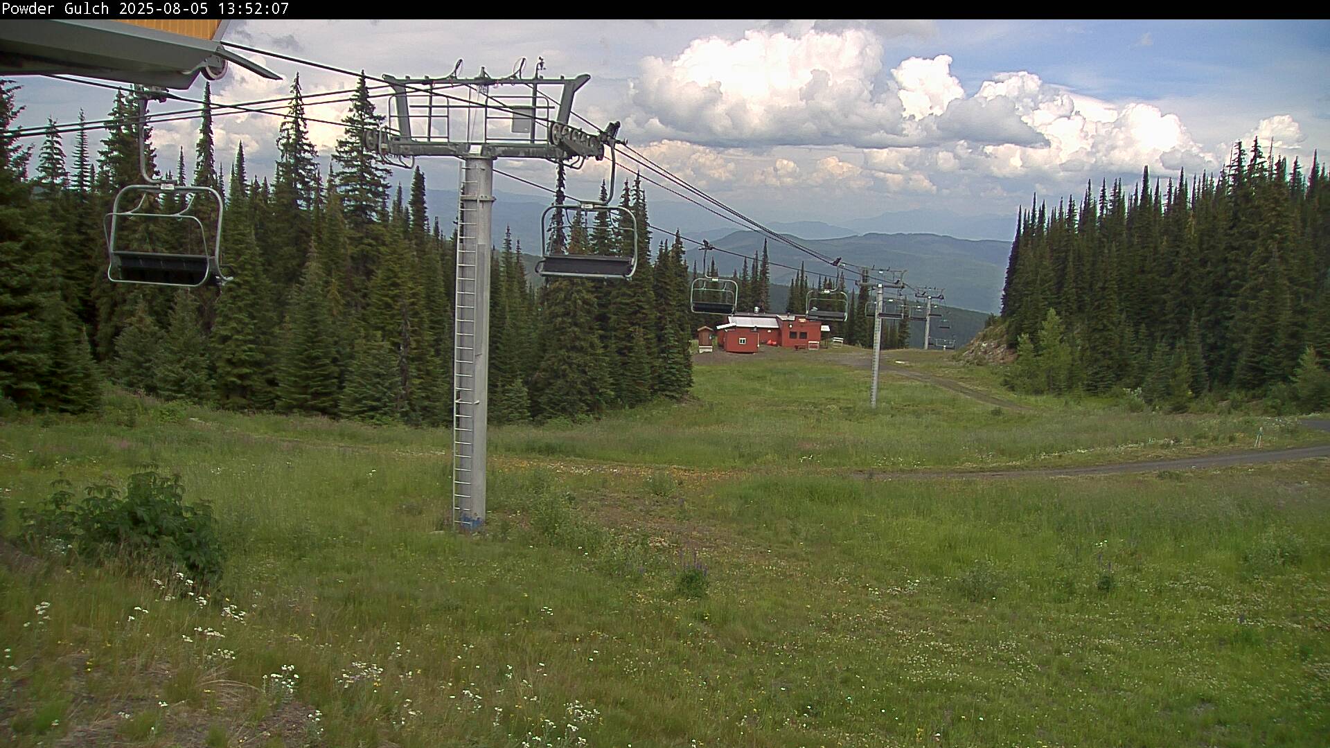
Powder Gulch

Top of Silver Woods

Tube Town
FRIDAY
May 10

58° / 52°

5 - 12
mph
 0
0
SATURDAY
May 11
60° / 49°
5 - 13
mph
0
SUNDAY
May 12

59° / 40°

14 - 23
mph
0
MONDAY
May 13
43° / 37°

10 - 18
mph
0
TUESDAY
May 14

51° / 46°
4 - 12
mph
0
WEDNESDAY
May 15

59° / 55°
4 - 11
mph
0
THURSDAY
May 16
64° / 57°
5 - 13
mph
0
advertisement

Partly cloudy becoming mostly clear in the late morning continuing through overnight, with windy conditions at times.
No snow.
No precipitation expected.
Hi: 62°Low: 54°
10,971 feet to 11455 feet
Winds variable at 5 to 12 mph through the day, becoming SW at 9 to 17 mph overnight.
Partly cloudy becoming mostly clear in the late morning continuing through overnight, with windy conditions at times.
No snow.
No precipitation expected.
Hi: 62°Low: 54°
10,971 feet to 11455 feet
Winds variable at 5 to 12 mph through the day, becoming SW at 9 to 17 mph overnight.
Mostly clear becoming partly cloudy in the afternoon continuing through overnight, with periods of rain expected in the evening.
No snow.
Potential Precip:
0 to 0.01
Hi: 64°Low: 51°
10,609 feet to 11165 feet
Winds variable at 5 to 13 mph in the morning, becoming variable at 6 to 14 mph in the afternoon, and then SW at 9 to 17 mph overnight.
Partly cloudy becoming mostly cloudy at times continuing through overnight. Periods of rain and snow are expected overnight.
Periods of light snow throughout the day. Snowfall is forecast to be a trace amount.
Potential Precip:
0.02 to 0.1
Hi: 62°Low: 38°
8,070 feet to 10921 feet
Winds SW at 18 to 29 mph in the morning, becoming SW at 13 to 22 mph in the afternoon, and then W at 10 to 18 mph overnight.
Partly cloudy through the day and overnight, with periods of rain expected in the morning.
No snow.
Potential Precip:
0 to 0.01
Hi: 53°Low: 38°
7,536 feet to 8244 feet
Winds NW at 11 to 20 mph through the day, becoming variable at 5 to 13 mph overnight.
Partly cloudy through the day and overnight, with periods of rain expected in the morning.
No snow.
Potential Precip:
0 to 0.01
Hi: 53°Low: 38°
7,536 feet to 8244 feet
Winds NW at 11 to 20 mph through the day, becoming variable at 5 to 13 mph overnight.
Mostly cloudy becoming partly cloudy overnight continuing through overnight, with periods of snow expected in the evening.
Periods of light snow throughout the day. Snowfall is forecast to be a trace amount.
Potential Precip:
0.01 to 0.03
Hi: 49°Low: 37°
9,047 feet to 10741 feet
Winds variable at 8 to 16 mph through the day, becoming SW at 10 to 18 mph overnight.
Partly cloudy becoming mostly cloudy in the late morning and then cloudy overnight. Periods of rain and snow are expected overnight.
Periods of moderate to heavy snow throughout the day, moderate at times overnight. Snowfall is forecast to be 3 to 6 inches.
Potential Precip:
0.22 to 1.12
Hi: 43°Low: 28°
11,046 feet to 11916 feet
Winds SW at 12 to 21 mph with gusts to 27 through the day, becoming W at 10 to 18 mph overnight.
 Sunrise & Sunset

Lunar Calendar


 Snow Maps and Weather Stations in the Area
 ![]() 8in, past 6 days. Snow surface is variable conditions and packed powder
8in, past 6 days. Snow surface is variable conditions and packed powder
Snow report provided by SnoCountry
 Mountain Base


