 Stevens Pass... Summit @ Sno... Summit @ Sno... Summit @ Sno...
 Thollon les Memises
  WebCams
Jardin d'enfant
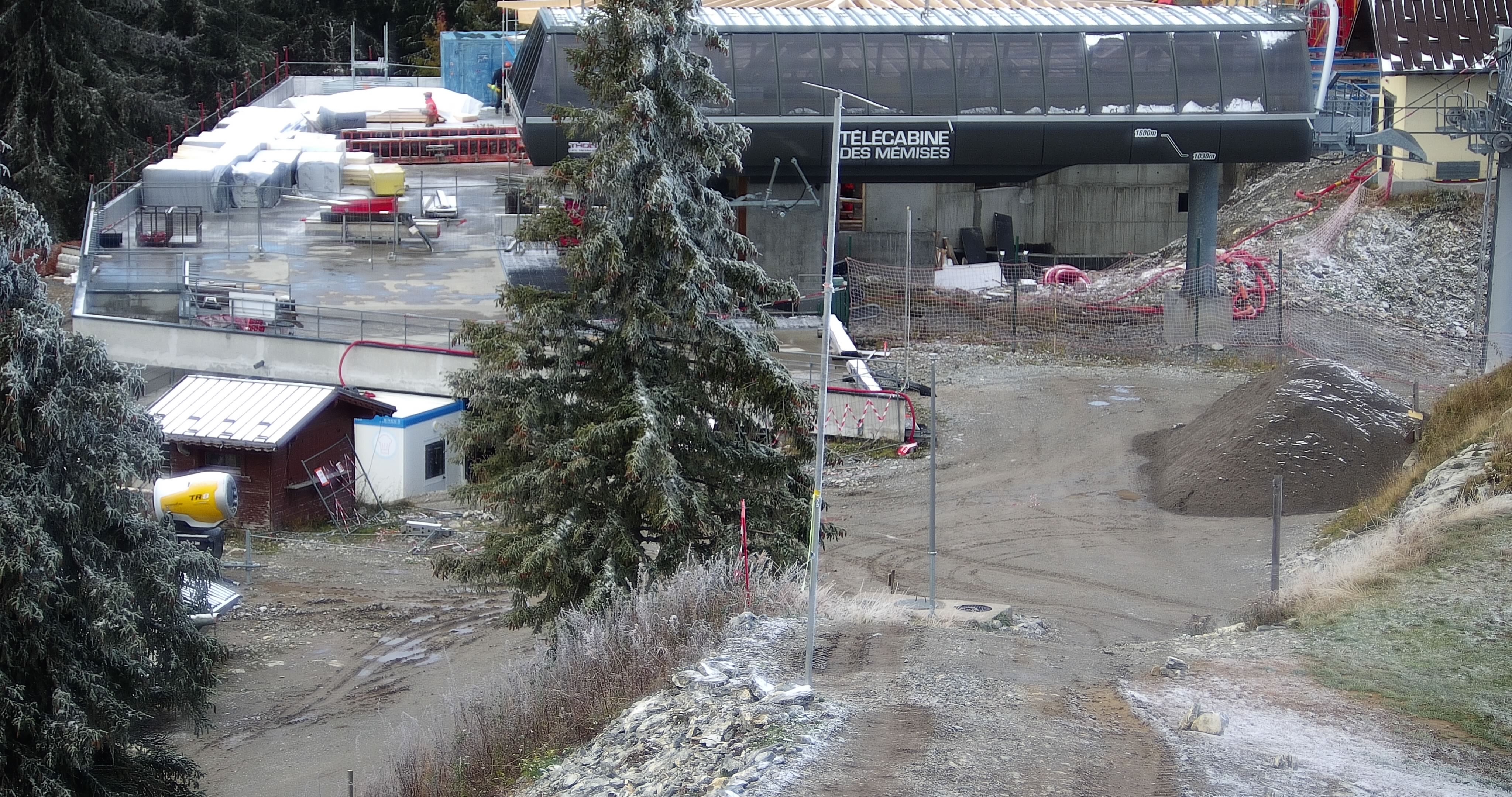
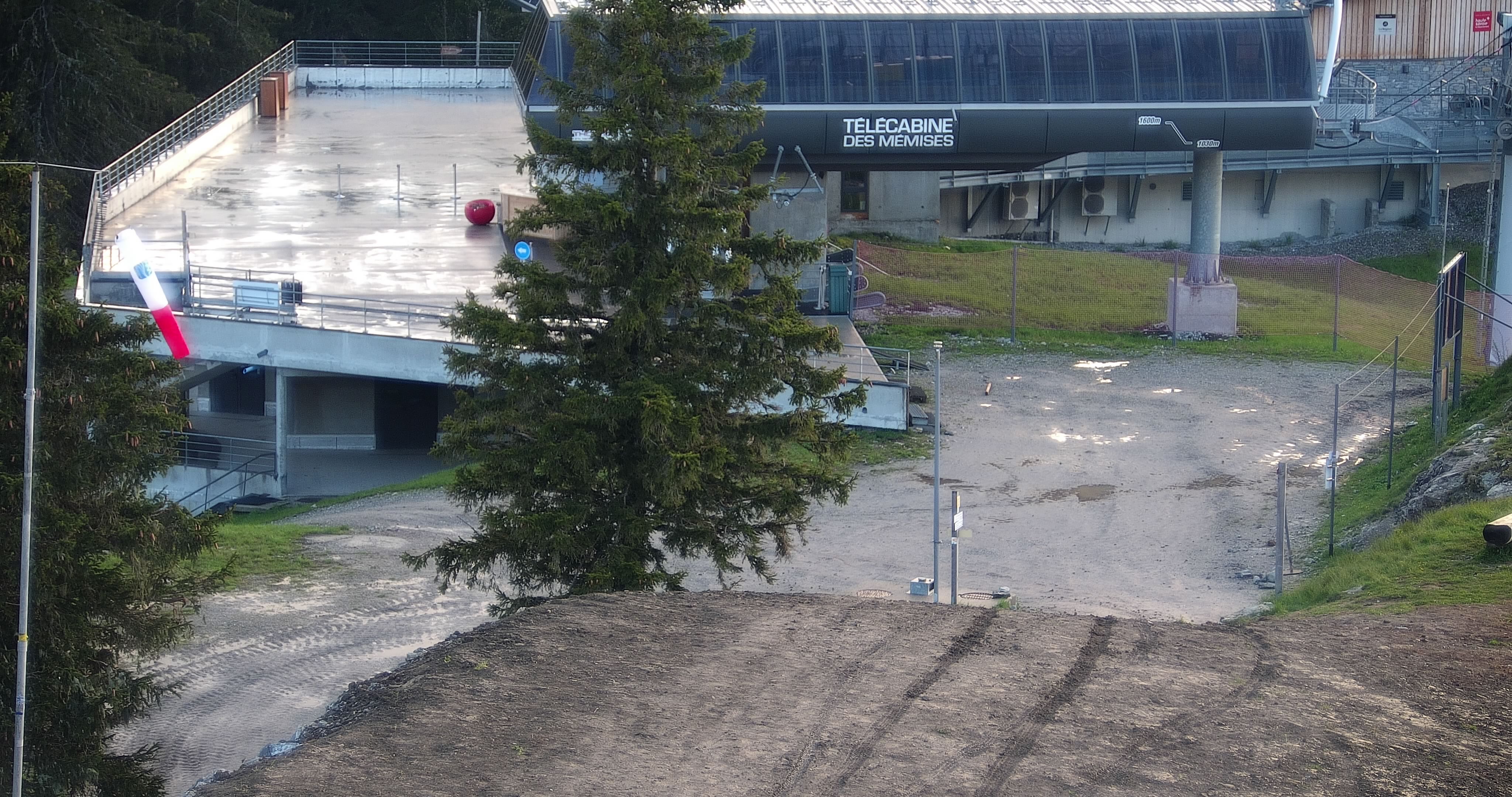
Arrivee telecavine
Snowpark
FRIDAY
May 10

60° / 47°

7 - 15
mph
 0
0
SATURDAY
May 11

63° / 51°

0 - 0
mph
0
SUNDAY
May 12
63° / 55°

10 - 19
mph
0
MONDAY
May 13

63° / 55°
11 - 20
mph
0
TUESDAY
May 14
56° / 47°
9 - 17
mph
0
WEDNESDAY
May 15
50° / 44°
8 - 16
mph
0
Mostly cloudy becoming clear at times continuing through overnight.
No snow.
Potential Precip:
0 to 0.01
Hi: 60°Low: 47°
9,961 feet to 10977 feet
Winds variable at 6 to 14 mph in the morning, becoming variable at 7 to 15 mph in the afternoon, and then NE at 10 to 19 mph overnight.
Mostly clear becoming clear overnight continuing through overnight.
No snow.
Potential Precip:
0 to 0.02
Hi: 63°Low: 51°
10,504 feet to 10966 feet
Winds variable at 5 to 12 mph in the morning, becoming calm in the afternoon, and then variable at 4 to 11 mph overnight.
Mostly clear becoming mostly cloudy overnight continuing through overnight, with periods of rain expected in the afternoon through evening.
No snow.
Potential Precip:
0.01 to 0.04
Hi: 63°Low: 55°
9,500 feet to 10462 feet
Winds SW at 6 to 14 mph in the morning, becoming SW at 10 to 19 mph in the afternoon, and then SW at 16 to 27 mph overnight.
Mostly cloudy becoming cloudy overnight continuing through overnight, with periods of rain expected in the morning through evening.
No snow.
Potential Precip:
0.04 to 0.19
Hi: 63°Low: 55°
9,475 feet to 10797 feet
Winds SW at 11 to 20 mph through the day, becoming SW at 13 to 24 mph overnight.
Mostly cloudy becoming cloudy in the afternoon continuing through overnight, with periods of rain expected at any time.
No snow.
Potential Precip:
0.2 to 0.99
Hi: 56°Low: 47°
9,324 feet to 10865 feet
Winds SW at 9 to 17 mph with gusts to 30 through the day, becoming W at 9 to 18 mph overnight.
Cloudy through the day and overnight, with periods of rain expected at any time.
No snow.
Potential Precip:
0.8 to 4
Hi: 50°Low: 44°
7,093 feet to 9874 feet
Winds NE at 8 to 16 mph through the day, becoming variable at 8 to 16 mph overnight.
 Sunrise & Sunset

Lunar Calendar


advertisement

advertisement
 Mid-Mountain


