 Mad River Mo... Nitehawk Ski... Clear Fork R... Snow Trails
 Snow King Resort
  Jackson, Jackson Hole Airport, WY Updated May 16 @ 08:13

 Southwest
 WebCams
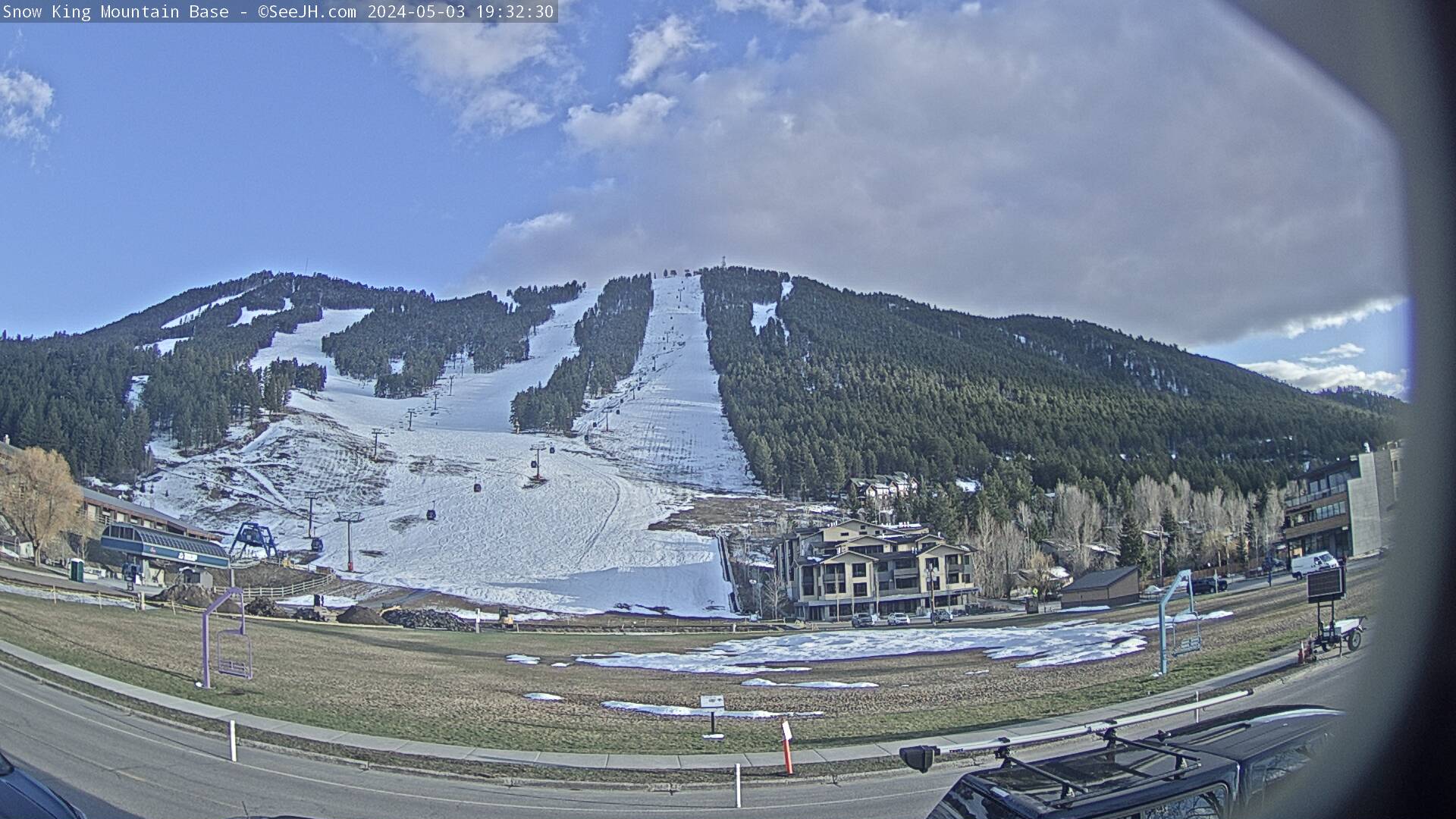
base
THURSDAY
May 16

61° / 45°

8 - 16
mph
 0
0
FRIDAY
May 17

55° / 34°

12 - 21
mph
0
SATURDAY
May 18
55° / 41°
5 - 12
mph
0
SUNDAY
May 19
46° / 30°
6 - 14
mph
0
MONDAY
May 20

46° / 32°
8 - 16
mph
0
TUESDAY
May 21
58° / 35°
10 - 19
mph
0
WEDNESDAY
May 22

61° / 35°
10 - 19
mph
0
Mostly clear becoming clear at times continuing through overnight, with windy conditions at times.
No snow.
No precipitation expected.
Hi: 61°Low: 45°
10,559 feet to 12290 feet
Winds W at 13 to 24 mph in the morning, becoming SW at 8 to 16 mph in the afternoon, and then SW at 9 to 17 mph with gusts to 38 overnight.
Clear becoming mostly clear at times continuing through overnight, with windy conditions at times.
No snow.
No precipitation expected.
Hi: 55°Low: 34°
7,813 feet to 10349 feet
Winds W at 22 to 33 mph with gusts to 42 in the morning, becoming W at 12 to 21 mph in the afternoon, and then variable at 4 to 12 mph overnight.
Mostly clear becoming partly cloudy in the late morning continuing through overnight. Periods of rain are expected in the evening through overnight.
No snow.
Potential Precip:
0 to 0.02
Hi: 55°Low: 41°
9,361 feet to 11452 feet
Winds W at 14 to 23 mph in the morning, becoming variable at 5 to 12 mph in the afternoon, and then S at 7 to 15 mph with gusts to 25 overnight.
Cloudy becoming mostly clear at times and then partly cloudy overnight. Periods of rain are expected overnight.
No snow.
Potential Precip:
0 to 0.02
Hi: 46°Low: 30°
5,925 feet to 9263 feet
Winds W at 15 to 26 mph with gusts to 32 in the morning, becoming SW at 6 to 14 mph in the afternoon, and then variable at 4 to 12 mph overnight.
Mostly cloudy becoming partly cloudy at times and then mostly clear overnight.
Periods of light snow throughout the day. Snowfall is forecast to be a trace amount.
Potential Precip:
0.03 to 0.17
Hi: 46°Low: 32°
6,808 feet to 9192 feet
Winds NW at 8 to 16 mph through the day, becoming variable at 3 to 11 mph overnight.
Partly cloudy becoming mostly clear at times continuing through overnight, with periods of rain expected in the morning.
No snow.
Potential Precip:
0 to 0.01
Hi: 58°Low: 35°
8,086 feet to 11430 feet
Winds W at 10 to 19 mph with gusts to 26 through the day, becoming variable at 5 to 13 mph overnight.
Mostly cloudy becoming cloudy at times and then mostly cloudy overnight. Periods of rain and snow are expected overnight.
Periods of light snow throughout the day and overnight. Snowfall is forecast to be a trace amount.
Potential Precip:
0.15 to 0.76
Hi: 61°Low: 35°
7,288 feet to 11982 feet
Winds SW at 10 to 19 mph through the day, becoming variable at 4 to 12 mph overnight.
 Sunrise & Sunset

Lunar Calendar


advertisement

 Snow Maps and Weather Stations in the Area
 ![]() 6in, past 7 days. Snow surface is machine groomed and variable conditions
6in, past 7 days. Snow surface is machine groomed and variable conditions
Snow report provided by SnoCountry
advertisement
 Mid-Mountain


